
Safe, Reliable Energy Operations
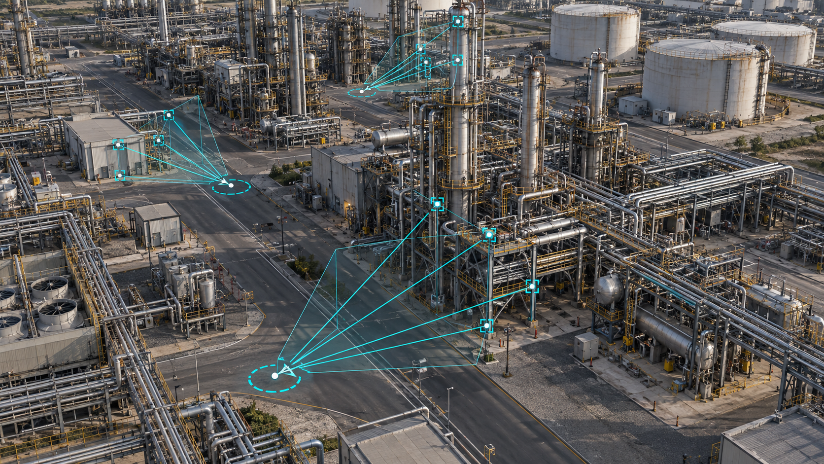
Spatial intelligence that supports resilient, GPS-independent operations, improves asset performance, and enhances real-time field awareness.
Connect existing data
Connect existing data through partner platforms
Use your own scans within existing partner applications and enterprise architecture.
Prove spatial accuracy
Prove spatial accuracy with onsite validation
Assess legacy scan data, validate performance onsite, and quantify localization reliability.
Answer operational questions
Answer operational questions for asset workflows
Enable wayfinding, asset finding, inspection, and change detection from one spatial layer.

ExxonMobil Pilots Visual Positioning System to Transform Field Operations
Designed to integrate with your current ecosystem


Why Energy Companies Must Future-Proof Infrastructure Operations Now
5 Spatial AI Applications Improving Power and Energy Operations
Why Visual Positioning Systems Are the Solution When GPS Fails
Frequently asked questions
01What is visual positioning for oil and gas operations?
Visual positioning uses imagery to determine where a person or machine is and what they are looking at, including position and orientation. Niantic Spatial VPS is designed to provide precise positioning in complex industrial environments without relying on GPS.
02Why is GPS unreliable inside refineries and industrial facilities?
Dense steel structures, large facilities, and signal interference can make GPS, Wi-Fi triangulation, beacons, and RFID unreliable or too imprecise for equipment-level navigation. Visual positioning provides an imagery-based alternative for helping field teams locate specific assets and navigate complex sites.
03How can Niantic Spatial improve field operations?
Niantic Spatial helps teams find equipment, valves, flanges, and inspection points more precisely, reducing unnecessary trips and the effort required to orient workers in the field. This can support maintenance, inspections, construction, and turnaround workflows.
04How does visual positioning support safer turnarounds?
During a turnaround, teams must isolate equipment, complete inspection or maintenance work, and return assets to service. Visual positioning can help workers navigate to the correct equipment, confirm what they are viewing, and share status with site managers and headquarters.
05Can Niantic Spatial work with existing facility data and systems?
Yes. Niantic Spatial is designed to work with data organizations already own and integrate with existing architectures, applications, and workflows. The platform can provide spatial context without requiring teams to replace established systems or processes.
06How does Niantic Spatial reconstruct energy assets?
Niantic Spatial turns existing and newly captured imagery and sensor data, including drone, 360-camera, phone, LiDAR, and underwater ROV data, into georeferenced 3D models, meshes, and Gaussian splats. These reconstructions support visualization, inspection, digital-twin workflows, and spatial analysis across facilities and subsea assets. For example, Niantic Spatial has worked on reconstructing refinery and underwater asset data for visualization and analysis.
07Can visual positioning support robotics and remote operations?
Yes. Reliable geospatial positioning can help drones, quadrupeds, and other machines operate repeatedly across large and dispersed energy environments. Niantic Spatial is designed to provide a portable spatial layer that can work across platforms and support a broader ecosystem rather than locking operations to one robot or system.